


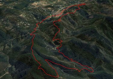
12.5 km | 19.3 km-effort

User


FREE GPS app for hiking
 SityTrail
IGN / Geographical institutes
SityTrail World
The world is yours!
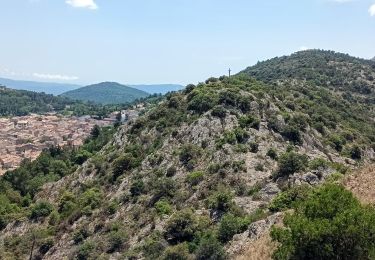
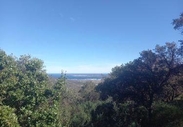
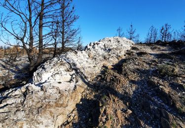
Trail Walking of 6.5 km to be discovered at Provence-Alpes-Côte d'Azur, Var, La Garde-Freinet. This trail is proposed by tracegps.
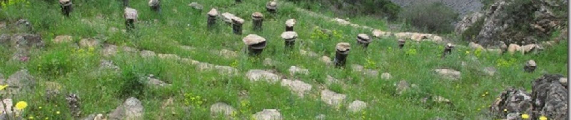
Ce beau sentier passe par un rucher du XVII siècle restauré et réhabilité récemment. Le circuit rejoint le chemin des Neuf Riaux où se trouvent les vestiges du Moulin à Eau de Blanche.


Walking

Walking


sport
Walking
Walking
On foot
Walking
Walking
Walking